Its been a while since the day that I walked through the City Proper, and its a perfect place to see the city because it is after all the city center and the administrative capital of the province. Since I have tons of free time so I thought of going out and explore the city.
The City's Poblacion is divided into 11 Barangays, which are numerically named. Barangays 1, 2, 5, 6, 8 and 9 are found on the eastern side of Sayre Highway (named Fortich Street in the Poblacion) while Barangays 3, 4, 7, 10 and 11 are on the western side. The 11 Barangays, together with 2 urbanizing barangays Casisang and Sumpong, form the Poblacion District of Malaybalay City. The other districts are the North Highway, South Highway, Basakan and Upper Pulangi.
I went upward to Heights (Barangay 1) through Claro M. Recto Avenue and these are the sites I caught on cam:

The Church of Latter Day Saints (also known as Mormons)

Immediate top and bottom photos shows the Lower Claro M. Recto Avenue going to Sayre Highway.


Claro M. Recto corner Propia Street.
Further up CM Recto is the City Hall. I haven't got good images because I stayed outside the compound.

THE MALAYBALAY CITY HALL


Above is the City Court of Justice, also found in the City Hall Compound.


Heights Kinderland (fronting the City Hall)

Alberto Street
Then I went southward, by making my through Pimentel Street and then making my way to the Kaamulan Grounds. Here are the pictures while on the way:

Pimentel Street (beyond Gov. Rubin Street)

The end of Pimentel Street

Mount Carmel Church

The road going to locally known as "Tennis Court"

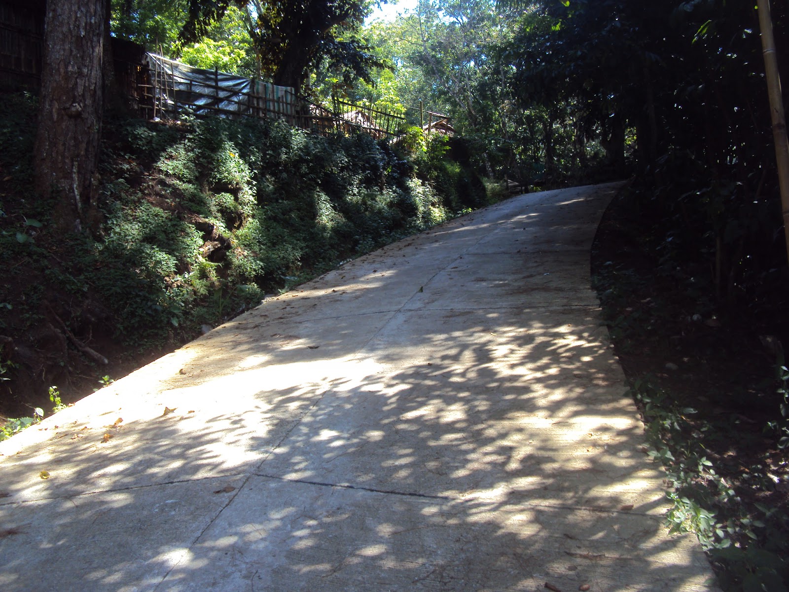
The road locally known as "Arqueta" (own spelling)
The next 3 photos shows Lower Gov. Rubin Street


The 2 next photos shows the way to the Famous "Springside" Resort


The Commission on Audit Provincial Office
Finally, I reached the entrance leading to the Kaamulan Grounds. Its been a while since I last visited this place, still beautiful and serene.


The Kalawaig Creek


The next 3 photos shows the 3 "tulugans"


Provincial Tourism Office

Kaamulan Open Theater (also known as Folk Arts Theater)


I then went to the Provincial Capitol. It is quiet because it is a weekday not like every weekends wherein families and friends come together and play.

Boy Scout of the Philippines - Bukidnon Chapter

Girl Scout of the Philippines - Bukidnon Chapter

Malaybalay City Hall of Justice

The Capitol Stage

A bench along the new joggers' lane

People who still seeks justice for a Barangay Captain who was killed

Another landmark along he joggers' lane


The Provincial Capitol of Bukidnon - which houses the Provincial Governor and Vice-Governor

Provincial Tree Park (just at the back of the Capitol)

The "80 Steps"

The Old Bukidnon Provincial Hospital

The road leading to the Provincial Park and the City Plaza
The last place I visited is the City Plaza where the famous "Erection de Pueblo" stands.
SAN ISIDRO CATHEDRAL


Marker showing that Hon. Lorenzo Dinlayan erected the City Plaza (then Municipal Plaza) while he was the Municipal Mayor

This used to be a playground back when I was a kid

Remains of stools last City Fiesta

Jose Rizal Monument

ERECTION DE PUEBLO
(A prject of Hon. Florencio T. Flores Jr. while he was the City Mayor)


Because the "rainy afternoon syndrome" is coming, I decided to go home. I hope tomorrow I could go to the western side of the City and the City terminal.
Malaybalay City Photoshoot
June 19, 2012
Very good job franz, you've got a lot of photos to share to the web. Suggestion. You can divide the three or more places into a series of post. Para dili ka ma hutdan og photos. para pud daghan ka ug post. :-).
ReplyDelete